Tag: Canada

The Character of Canadian Cartographers
The Character of Canadian Cartographers

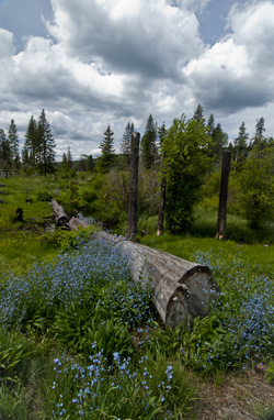
Alpine flowers, the Kane Lakes, B.C. (2012) Photo (c) Karen Abrahamson

In many of my map posts I’ve written of the unusual people who led the map making ventures, whether mystical Frau Mauro of Venice, the ancient Chinese voyager General Zheng He, or the dedicated native British East India Company surveyors who surveyed the Himalayas. Of course Europe and Britain and America have their own cartographic heroes, so I thought I’d take a few moments to mention a couple of religious cartographers who played a huge role in mapping Canada.

Jesuit Father Frencesco Bressani came to New France (Lower Canada) in 1641 as a missionary and with the express plan to measure astronomical eclipses in order to calculate longitude. At age 32, only a few years in-country, he was captured by Iroquois just outside Trois-Rivieres and was tortured, burned, beaten and mutilated for two months. Somehow he survived and was ransomed to the Dutch and returned to France. Regardless of his ordeal, he came back to New France the next year for four years before returning to Italy where, in 1657 he published his map, the Novae Franciae Accurata Delineatro.

This map, considered the rarest of Canadian maps, not only shows Native territory, but is most valued for its many illustrations. These give an astounding view of Native life as well as vivid drawings of the martyrdom of many missionaries, including being slashed with glowing bark, being placed in boiling water and being cut up alive. Dangerous work, cartography.  Of course the map comes with controversy. Was Bressani even able to draw, when his own letters indicate that his hands were so badly mutilated that he could no longer do mass properly? (One hand had only one finger left.) Historians believe the map was drawn by one Giovanni Frederico Pesca, in Italian engraver, working on Bressani’s insightful information.
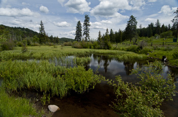
Kane Lakes, (2012) Photo (c) Karen Abrahamson

The Jesuits like Bressani were responsible for much of the early mapping of Canada, but in the 1800’s the missions and religious mapping was assumed by the Religious Institute of the Oblates of Mary Immaculate. This order was founded in 1816 in Paris with the motto that meant Right to the ends of the Earth! and they lived up to this when they established their first mission in Canada in 1841 with a focus on Canada’s north along the Mackenzie River Valley. Long-bearded and black robed, the Oblate fathers became well known to the Natives, but none more so than Father Emile Petitot.

Petitot came to the Mackenzie River in 1862 only two weeks after he was ordained. He stayed for twelve years, most of the time travelling with Native companions through the uncharted north from Great Slave Lake to the Arctic Ocean and between the Mackenzie and Laird rivers. He made detailed observations of the Native communities, down to the condition of their teeth and the level of stammerers in specific populations. He learned much of the Native means of living including the guiding marks they placed on river channels to show which were open and which were dead ends. He made maps that set out geographic data of the interior of the northern basin, and discovered the Riviere a Ronciere-Le Noury—a river that geographers denied existed for eighty years, until aerial photography proved Petitot was right.
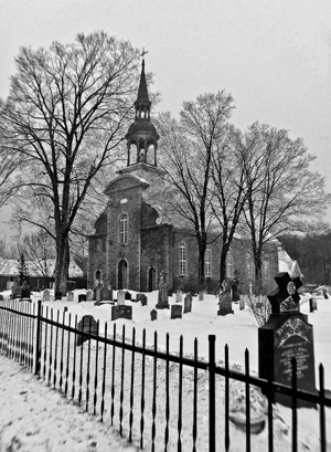
Quebec churchyard. (2005) Photo (c) Karen Abrahamson

Petitot’s maps made him something of a celebrity in Paris, Ottawa and London, but he was also watched closely by his superiors. Historians describe Petitot as something of an absent-minded dreamer who longed for long voyages, but who also was apt to freeze his fingers because he’d forget to wear his mittens. As well, his missionary duties went something by the wayside. He spoke native dialects fluently and was accepted by the Native groups he met, but he had some unfortunate predilections towards young native men and was excommunicated at one point. Mental illness also plagued him. He variously predicted the end of the world,  proclaimed his superior had murdered Jesus and the Virgin Mary, and could become erratic and violent. During these dark spells he would be tied down and placed under guard to stop him from running naked in the snow. It was not until 1882 that he was quietly placed in a Montreal mental hospital after which he returned to France for good.

Petitot’s departure ushered in an era where the religious orders were no longer so prominent in Canadian cartography. But their memory lives on in the ranks of Canada’s memorable cartographers: the devout, the brave, the mad.


Clothing Might Make the Man, but Maps Make the Country

Clothing Might Make the Man, but Maps Make the Country

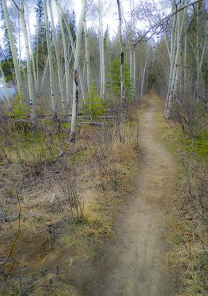
Path along the Yukon River. The quiet places like this are the ones lost in rampant development. (2010) Photo (c) Karen Abrahamson

I thought I’d throw a little light on my home and native land in honor of Canada’s 145th birthday on July 1st.

Maps give shape to countries, both real and imagined. I’ve written previously of the long search for St. Brendan’s Island in the Atlantic and how the need to establish Prestor John’s country influenced the maps of Asia and Africa. But beyond creating imaginary countries and geography, there are three real ways that maps can help build a nation and all of these have been used to build Canada. Maps can:

1. Help the populace visualize the their nation and understand their borders;

2. Take a geographic area and turn it into a political abstraction such as the Canadian state, and

3. Mediate relationships between states and their population and can act as a means of ‘erasing’ certain populations from the national and political psyche.

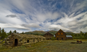
Old Ranch, Yukon River (2009) Photo (c) Karen Abrahamson

Maps have performed these roles for Canada since before the country was actually born. An example of the first comes from the period when the French and the English were still making their claims on North America. In the early 18th century, between 1713 and 1756, the French and English were engaged in a continuing dispute over what was English and what was French territory. This led to what might be called a war of maps, or at least a war of propaganda perpetuated through maps, with English maps having the audacity to present the French territory as a small area confined between the Ottawa and Saguenay Rivers in present-day Quebec, while the rest of North America – areas that had largely been mapped by French explorers – was claimed to be English. Oddly enough in the fight over what was French and what was English some of the battles, such as the argument over what was ‘Acadia’ (French) and what was ‘Nova Scotia’ (English) both sides presented maps prepared by their opponent. The trouble was, so much erroneous information was included in so many maps, you could pretty much support either argument.

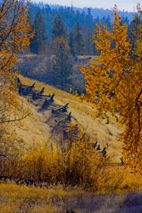
Snake fence along the Kane Lake Road, British Columbia, (2006) Photo(c) Karen Abrahamson

Maps also played a role in defining the border between Canada and United States. Dr. John Mitchell created A Map of the British and French Dominions in North America in 1755 and this was a pivotal map used by both of the fledgling countries in determining their borders. A Virginian, Mitchell became interested in maps as a result of concern over the French encroachment on territories the English had ambitions on. He began to collect information from travelers and publicly available maps, and compiled one of the first maps of North America. He wanted to expose the scale of the French Threat (they had been all the way down the Mississippi and far into the west by this point) to the British public and the colonies. Although his first map was crude, it showed enough promise he was commissioned to create something better by the Lords Commission on Trade and Plantations and was given access to the growing store of maps and charts coming from the new world.

The resulting maps showed a credible presentation of the boundaries of Upper Canada and, when the 1783 boundary negotiations between the United States and Britain began, the map helped to settle that the boundary would bisect the Great Lakes and then continue west. But that didn’t set the boundaries at the 49th parallel. It was another map, created by Jean Palairet, that erroneously showed the 49th parallel as the ‘agreed upon’ boundaries between French America and the Hudson’s Bay company. Although the French had never agreed to the boundary, the strength of a map presenting that fiction led the two countries to accept the 49th as their boundary in reality.

Two years after confederation, the fledgling Canada’s mapmaking had its first brush with making a culture disappear. In 1869, when the government sent surveyors into the prairies to prepare them for settlers, they were charged with measuring off the land, just as their American counterparts had done south of the border. They sought to mark off the land in one mile blocks, but when they came to the “hay privilege” lands of one Andre Nault, they were stopped by a group of Metis led by Louis Riel. You see, these descendents of marriages between native women and French explorers had established their own culture and place on the prairies. They had found that, in the arid landscape, the best way to divide the lands was using long strip land claims that flowed naturally back from each river or stream and thus allowed everyone access to irrigation. They viewed the government surveyors’ placement of each square mile on a map, as effectively wiping out their way of life. We know what happened—the Metis rebelled and Louis Riel was hanged and went down in history as an enemy of Canada. The Metis, like many First Nations people, were left as disenfranchised members of our country.

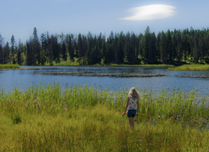
Small fishing lake in the B.C. Interior. (2011) Photo (c) Karen Abrahamson.

All of which shows how maps can be used to create or subdue a country—in this case mine. Happy Birthday, Canada. Let’s hope our maps of the future are a little more kind.


Recent Fantasy

Available HERE,

$1.99

Available HERE,
$3.99

Available HERE $1.99


Recent Mystery


Available HERE
$4.99


Available HERE,

$4.99


Available HERE,

$4.99


Available HERE,
$4.99


Recent Romance

Available HERE, $2.99