Month: May 2012

The Comet and the Cartographer
The Comet and the Cartographer

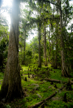
Cypress tree, Northern Everglades (2012) Photo (C) Karen Abrahamson

I’ve written earlier about the way maps are used to convey information about our world and how the information maps convey has extended far beyond the basic morphology, and the boundaries and formations humans place upon the earth. But how did the idea of using maps to present things like the distribution of population and average income come about?

The potential for such maps stretches right back to Ptolemy, but it was a certain Edmond Halley who made the first of what are known today as thematic maps. You see Halley, the same Halley who was a friend to Isaac Newton and who, in the 17th century, predicted the periodic return of a certain comet, also predicted that certain phenomena may be better presented as maps than through the use of words. He produced what is considered the first meteorological chart – of prevailing winds. He also published a map of the North and South Atlantic which showed variations of terrestrial magnetism by charting variations of the compass needle from true north. His map, created after two years of observations, charted these variations by using curved lines on a map that connected areas of equal value—a process that is used today, with isolines connecting areas on a map of similar elevation or depth.
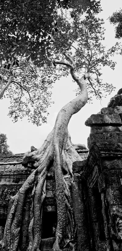
Fromage Tree, Angkor, Combodia (2009) Photo (c) Karen Abrahamson

The inspiration Halley provided led to the creation of maps in the 19th century that set out similar lines, isotherms, for temperature and isobars for barometric pressure. In the 19th century other means of conveying information beyond basic geography were also developed. For example, the use of larger or smaller circles to convey larger or smaller cities. Plotting of incidents of cholera and London water pumps on a map not only showed where the deaths occurred, but also demonstrated the use of maps as analytical investigative tools when all the deaths could be linked to a single water pump.

The development of thematic maps has continued, with odd maps called ‘winds of influence’ that group places of similarity such as use of technology, so that, in the 1980s, first-world countries were grouped closely together, while third world countries were separated by distance, illustrating how far behind some countries were. Maps of influence helped track and demonstrate the spread of botany across the South Pacific, and also gave clues to the spread of Polynesians over the Pacific.
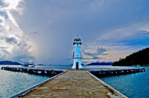
Lighthouse, Ko Chang, Thailand. (2009) Photo (c) Karen Abrahamson

So while Halley gifted us with the understanding that a comet returns periodically to our night skies, his greater gift might be the idea that maps can be so much more than representations of geography and international boundaries. Most of all, his use of isolines led to the bloom of maps as a means of showing the connections within our world.
 

The Lure of Venturing into the Unknown

The Lure of Venturing into the Unknown

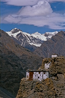
Himalaya Monastery outpost (2000) Photo (c) Karen Abrahamson

The other day I was reminded of something that seems intrinsic to human beings—the need to go where no one has gone before, to discover and map and mark our presence upon the world whether it be by having a place named after us, or by hammering a flag into a mountain top. What reminded me of this phenomenon, was the unending effort of one of my cats.

You see, in my house I have a cupboard that holds my washer and dryer. Above that cupboard is a nine-foot high display ledge that holds three large terra cotta pots and an antique Burmese carriage carving safely out of the way of the carnage of scampering little cat hooves.  My cat, Ben, has known of the shelf. In my arms when we walked past he always strained upwards like a person wishing for wings, but there was no way up.

Or so I thought. I underestimated the lure of adventure into unknown worlds, and the too-keen intelligence in my cat when it comes to reaching the Promised Land. You see, unbeknownst to me, Ben has secretly been in training.

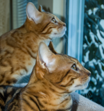
'The boys' watching their first snowfall
'The boys' watching their first snowfall. Photo (c) Karen Abrahamson

Over the past few years he has taken to leaping to the tops of doors and balancing. Over the past few months his training shifted to opening every bifold door in the house, including the one to the washer and dryer. Then, recently, he trained at climbing, and took it upon himself to open my linen closet, climb up the shelves and then climb out the small little ‘V’ of open space at the top of the bifold closet doors. Once there, he’d balance. Shocked the heck out of me the first time I walked in and didn’t see him until he leapt down in front of me.

I’m sure you can see where this is going.

After years of training, much like a mountain climber trains before attempting Mount Everest, or those surveyors before tackling mapping a mountain range, while I was away at Disney World, Ben tackled his adventure.

The result? One smashed terra cotta pot and a cat with a very big smile on his face.

Since I’ve been home he has shown me how he climbs his mountain. Then he sits on the ledge far above my head and meows his accomplishment—until I grab a chair and haul him down. He seems satisfied with himself and content. When I carry him past the ledge he no longer looks up at the Promised Land. After all, he’s been there, and until I can figure out how to lock the door he can get up there any time he wants

So I guess, just like the explorers of old, I’m going to have to find a way to commemorate what he’s accomplished. Guess I’ll dub his ‘Everest’  ‘Benares’ Ledge’.

And cat-proof the remaining terra cotta pots, of course.

Ben. Photo (c) Karen Abrahamson


Knowing Where We Are in the World – and in Story

Knowing Where We Are in the World – and in Story

Cypress tree, Northern Everglades (2012) Photo (C) Karen Abrahamson

I’m currently working on two pieces of writing. One is the third novel in the Terra Trilogy and the other is the third installment of the Ice Dragon Series of short stories. Working on these two projects has made me question how I know where I’m going and how do I know where I am in relation to everything else in both these stories. It brings to mind the question of how we know, in our real life, where we are in relation to the rest of the world.

In this day of GPS and mapquest etc. this might seem like a very easy question to answer, but it wasn’t always this way, just like I wasn’t always able to have a sense of where I am in a story. Yes, surveyors took it upon themselves to survey the world. Countries (and scientists) agreed on the prime meridian that impacts all our time zones. But the 20th century has primarily been concerned with improving the precision of mapping and in particular with ensuring the pinpointing of places on the map in relationship to the rest of the world. The US Geological Survey was involved in this through most of the 20th century.

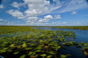
Waterlilies, Northern Everglades (2012) Photo (c) Karen Abrahamson

Why is this important? Well, think about it. Without standard understanding of how everything relates to everything else, weird things happen, like bridges getting built from each shore that don’t meet in the middle, or highways that have weird jogs in them because the measurements allowed the two ends to miss each other. It might not be important to you, but the cost overruns of such mistakes make having a common context for measuring everything important because it stops these types of things from happening.

In North America, the result of the surveying is those nice little brass discs (known as monuments) set in concrete or rock dotting the landscape . Each of these little brass discs serves as a known point for all subsequent surveying in the area. How did they know the individual location of these monuments? They took meticulous measures of distance through triangulation surveys and also measured the azimuth—the direction of Polaris—to set each monument’s position.

Throughout America, broad swaths of land were surveyed independently to create grids of known locations. They measured locations not only horizontally across the landscape, but also vertically, in relation to sea level, but the challenge was knowing that all these grids fit together. The result was the selection of a single monument at a ranch in central Kansas, Meades Ranch, as point zero for all grids across the country. Meades was chosen because it sat centrally in the US and it lay close to the crossing of two major survey lines across the US – one from Canada to Mexico and the other from the Atlantic to Pacific Ocean. Interestingly, today Meades Ranch has been superseded by global positioning that uses the center of the earth as the central point of reference.

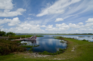
Airboat docked in the Northern Everglades. (2012) Photo (c) Karen Abrahamson

The use of that central point for mapping draws me back to my thoughts on plotting a novel or story. I once heard the wonderful writer, Nancy Kress, talk about plotting. Now I don’t know how you feel about plotting—some people are all for detailed plotting of everything in a novel, while others prefer to fly by the seat of their pants (Pansters) and write into the mist of their imagination. Nancy Kress seemed to offer a third alternative that didn’t hold a writer’s imagination down, but also gave some structure to writers so that all that lovely mist didn’t turn into a dense blinding fog. Ms. Kress suggested that writers need to write down what they think is going to happen in the novel. Just brainstorm them out. Ask yourself what is the beginning (the inciting event) and what is the midpoint (quiet often a reversal of some sort), and how do you think the story will end (the climax)? Once you have those key points identified, you can easily place them on a plot line and them locate all your other plot ideas on either side of the midpoint—a lot like being able to measure your location from Meades Ranch.


Lines Maps and Narrative Maps: they both have their place

Lines Maps and Narrative Maps: they both have their place

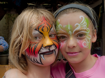
The nieces who never really cared if we were lost as long as we had fun.(2012) Photo (c) Karen Abrahamson

I wrote earlier about how maps on a page (or electronic maps) have taken the place of the narrative maps of old, but my recent trip to Disney World and Orlando Florida brought home how narrative maps are still an integral part of our lives.

So what’s a narrative map? It’s the ‘written out in long hand’ directions of how to get to where you are going. It’s the old man at the side of the road who tells you to drive until you see a red barn and take the right fork at the next crossroads, or the young woman at Disney’s Magical Kingdom who tells you to go up past the camel and turn right to get to Fantasyland, or Frontierland. Narrative mapping is what we do naturally when someone asks for directions—we try to guide them, through language, via visual cues to wherever it is they are trying to get to.

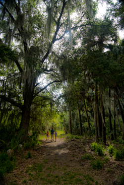
Wandering the cypress grove island, Northern Everglades, Florida (2012) Photo (c) Karen Abrahamson

Upon reflection, even though I love line maps, I seem to have a preference for narrative maps whether spoken or written down. Case in point was finding my way around Orlando. My sister played driver and I was the navigator with the maps. Often we had multiple maps, some solely focused on presenting a flat earth representation of the highways, streets and avenues we needed to navigate through. Others though, like the one from our hotel, and the one from our swamp guide, came with narrative directions of how to find our way. Some had distances involved (travel 5.5 miles to X street), others referenced signage (track left at the X sign). Invariably, I’d have the line map spread on my lap, but it was the narrative map that I followed in order to navigate our travel.

Cypress knees and trees, Orlando (2012) Photo (c) Karean Abrahamson

This got me thinking that, just like the medieval pilgrims to the Holy Land who depended upon written guidebooks for their journey, I seemed to have a preference for the narrative form rather than for detailed line map. I suppose part of it is the ability for a narrative map to cut through all the details of other potential routes to the ONE route that is going to get me where I want to go. The problem is that narrative maps are dependent upon the accuracy of the person/vehicle conveying the information, while with a line map you can find your own way if the narration proves faulty.

Afterall, we’ve all heard the horror stories about the man told to turn right at the big red barn when the owner of the barn had either painted the barn while, or torn the whole thing down.

So what are your preferences? Do you prefer line maps or narrative maps?

So maybe I took a wrong turn somewhere. Tibetan prayer flags at Disney's Animal Kingdom (2012) Photo (c) Karen Abrahamson


Recent Fantasy

Available HERE,

$1.99

Available HERE,
$3.99

Available HERE $1.99


Recent Mystery


Available HERE
$4.99


Available HERE,

$4.99


Available HERE,

$4.99


Available HERE,
$4.99


Recent Romance

Available HERE, $2.99